Historic Landscape
Characterisation
The Gwent Levels
03 Whitson
03 Whitson character area: unique planned village
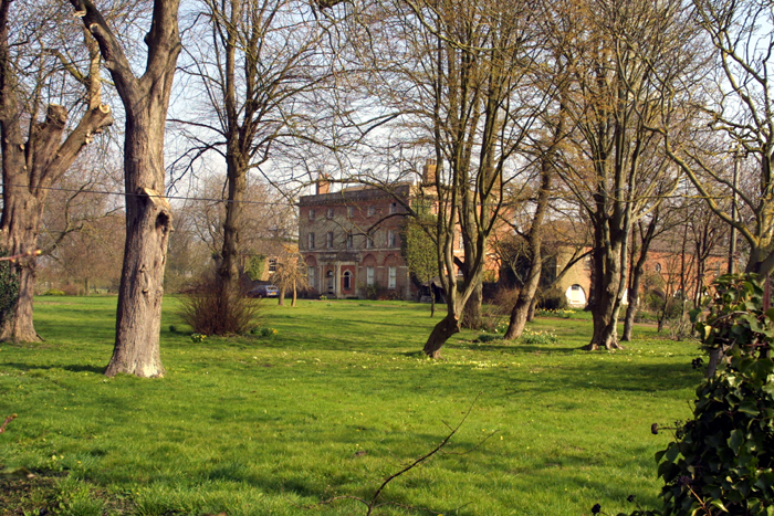
(Photo: GGAT Gwent Levels 041)
Click here for a character area map
This fascinating landscape was planned out during the high medieval period possibly by the monks at Goldcliff. Initially, a series of long narrow strips were laid out, surrounded by a "fen-bank". These strips were subsequently extended a number of times. The common was enclosed in the mid-nineteenth century.
There is a scarcity of documentary material for Whitson, though the possible contexts for its creation, by Flemings, Goldcliff Priory or the lords of Caerleon, give the potential for strong cultural associations to be developed. A survey of 1656 describes the drainage system in detail.
Key historic landscape characteristics
Drainage features (reens, banks, and ridging/surface drainage, include
the medieval Monksditch), linear settlement on the former common, fen-banks,
green lanes, long narrow fields, pollarded trees
This landscape occupies the centre of the Caldicot Level. Monksditch lies to the west, the road around Whitson to the north/east, and a green lane to the south.
The principal element is a linear settlement along a "street common", and very long narrow fields laid out longitudinally to the east. It is enclosed by a road, which is metalled to the north/west; there is a fine green lane along Parish Reen to the south/east. The main village street runs down the centre of the former common, leading to the farms, which originally all lay on the common's edge, being set back from the present road. Monksditch runs down the west side of the former common. A fine row of pollards lines Bowlease Reen.
This is a unique and fascinating example of a planned landscape and linear settlement dating to the twelfth to fourteenth century. It is unique on the Levels. There is a coherent range of landscape features giving the area a very high group value (eg Monksditch, the former common, sequence of fen-banks, green lanes).
A number of boundaries have been lost but some grips are well preserved and the pattern of long narrow fields survives in essence. The area is overlooked by the Steel Works, though tree planting partly screens this; ash dumps to the north-east also need screening.
There are many scrubby and well-wooded hedges (especially in the village), though others are cut or absent. This, along with the loss of some boundaries, leads to a rather open landscape in places, though still retaining the important pattern of long narrow fields.
Overall, this is a very important and coherent landscape, retaining considerable
integrity. It is a fine example of English planted settlement/reclamation
in the Welsh Marches.